
This website gives users the possibility to overlay their own data from excel onto a google maps base layer. To do this they can either upload a spreadsheet or drag and drop data onto the page. The data is shown as colour coded points on the map. There is a relatively small selection of chart features to choose from (displayed below), limiting the amount and type of data that can be mapped.
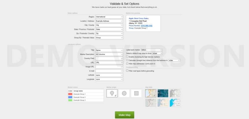
This gives the finished map a dull appearance however it does mean that the map is easy to understand. The website is free to use and can map data at a global scale. Overall I would give this site a 2/5 as the maps are not particularly interesting and they are limited in the amount that the user can personalise them.
